
- UK subscription / Available world charts / Satellite charts
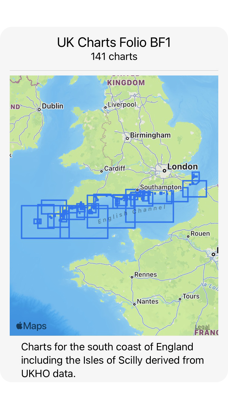
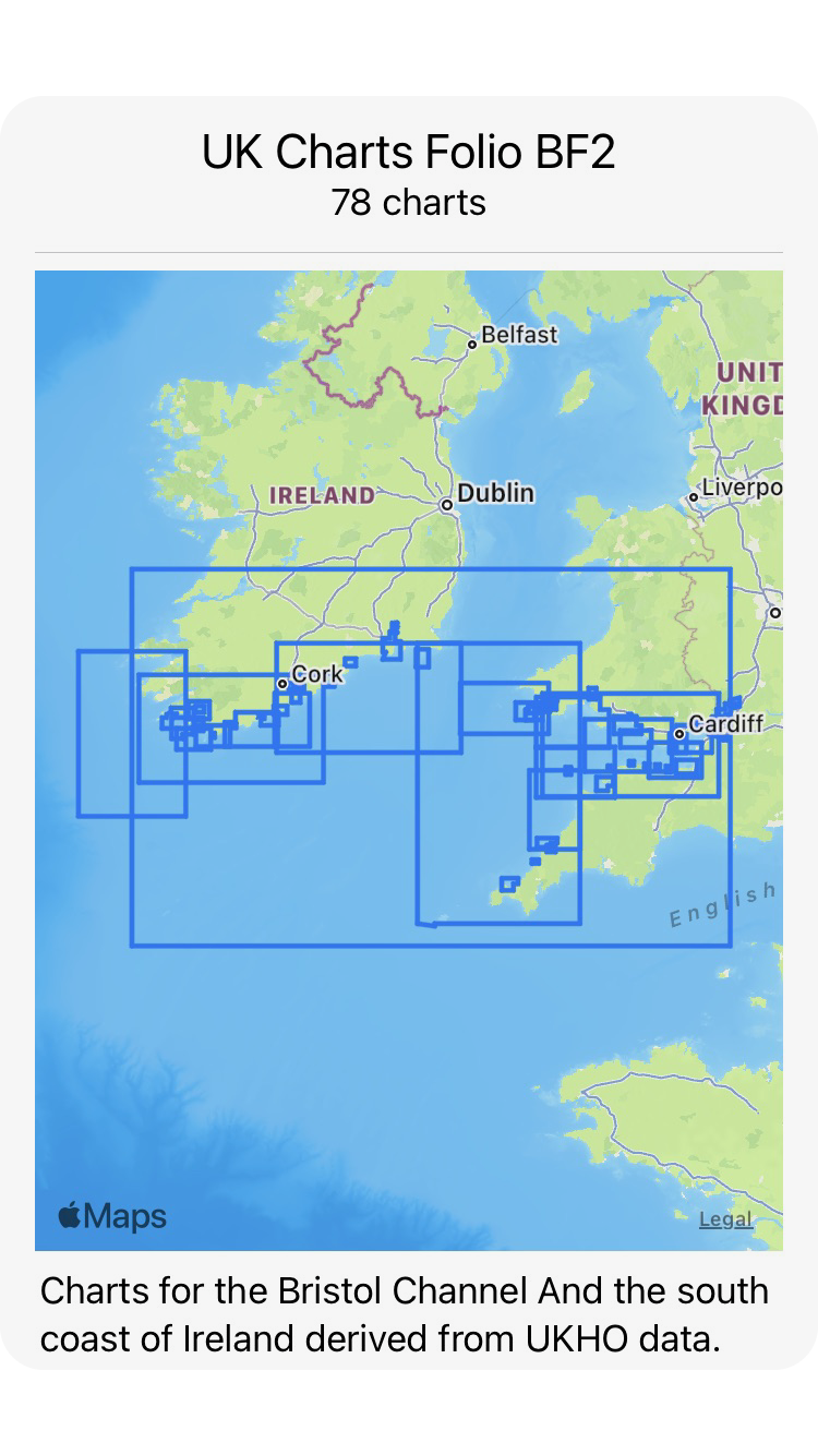
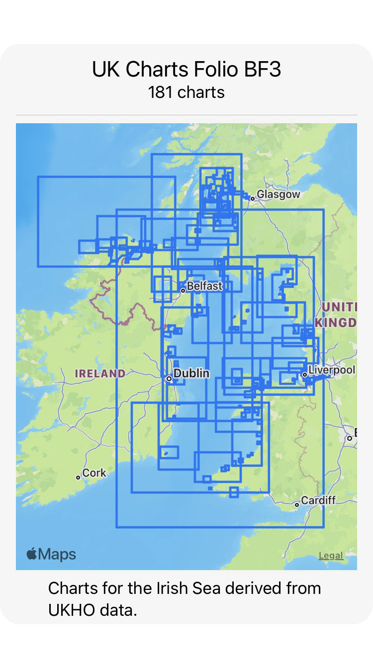
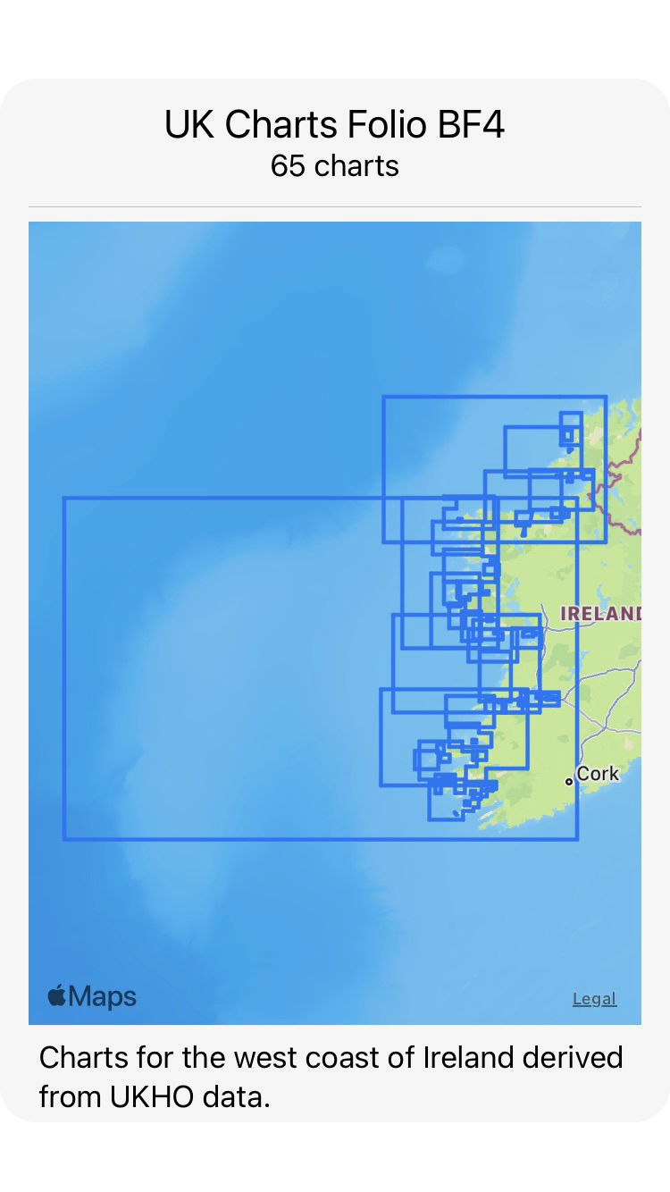
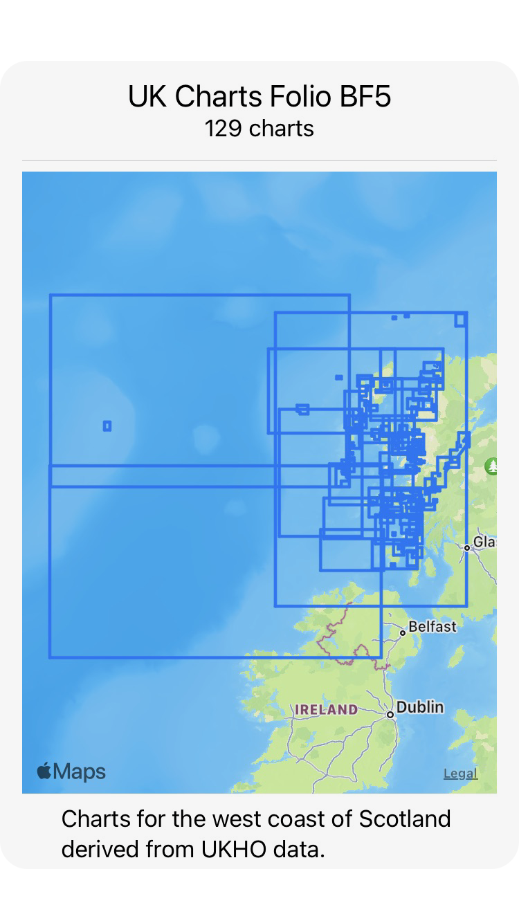
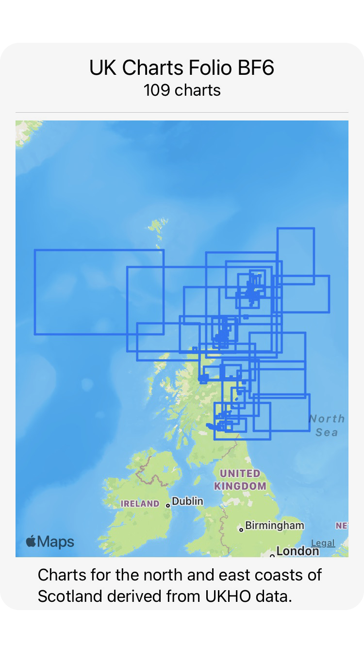
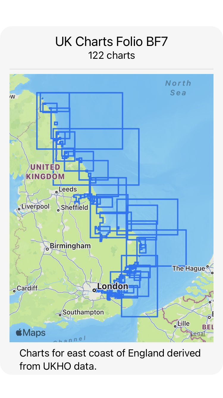
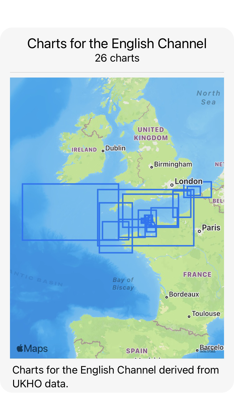
AngelNav can be downloaded free and includes a single chart of the UK for evaluation purposes. Most users will want to obtain charts covering the area they sail in, and currently AngelNav offers annual subscriptions for 8 folios of charts covering UK waters. Most users will only need to subscribe to a single folio which is currently priced at £24.99 a year. Regular (every three months) updating happens automatically and is included in the subscription charge.
We plan to add many more folios covering areas outside the UK, including France, Spain and the Mediterranean.
In addition to charts available through subscription, AngelNav will open the majority of raster charts, for example those in BSB/KAP or GeoTIFF format.
Many such charts can be downloaded from the internet charge, some of them free of charge. The following is a partial list of what is available:
Large scale charts based on geo-referenced satellite images may be created within the app.

AngelNav can create charts from satellite images for use off line. Although no depth information is offered, it can be helpful for anchorages with multiple hazards (rocks, coral heads) which are otherwise not clearly marked.
It is particularly useful for islands in the Pacific for which recent hydrographic surveys may not be available.